Runs through Marlborough, Hudson, Maynard, and Acton :: 8.6 miles, asphalt
Parking at the Acton trailhead is available on Maple St., parking at the Maynard trailhead (Ice House Landing) is available on Winter St., parking at the Hudson trailhead is located on MA 62/Wilkins St., and parking in Marlborough is available on Hudson St. (the trail ends .3 miles to the south of the parking area).
Runs from Chelmsford to Acton :: 11.7 miles, asphalt
The trail begins at the northern trailhead with a tunnel under the Northwest Expressway/US 3. The trail has a designated parking area in the office building parking lot on MA 110 W/Chelmsford St.
Hopkinton :: .6 miles, crushed stone
Limited parking for the Center Trail can be found at the Hopkinton school complex athletic fields on Loop Rd. (off Hayden Rowe St.).
Runs from Boston to Waltham :: 22.9 miles, asphalt
Parking is available at the Boston trailhead in the Museum of Science parking garage, and at the Cooper St. parking lot in Waltham.
Runs from Framingham to Natick :: Currently 1.1 miles, asphalt
The Cochituate Rail Trail is a developing, multi-use trail that will run from the Village of Saxonville in Framingham to Natick Center. When complete, it will span a distance of four miles.
Lowell :: 2 miles, asphalt
A parking lot with bike racks is available on Lawrence Street.
Cambridge :: .7 miles, asphalt
Parking is available near Kingsley Park (250 Fresh Pond Pkwy.) and at William G. Maher Park (650 Concord Ave.). The north end of the bikeway is 0.6 miles away from the Alewife T stop and also accessible by bus.
Lowell :: 1.9 miles, asphalt and concrete
Parking is available at the visitor center on Dutton St.
Runs from Malden to Everett :: 2.5 miles, asphalt and crushed stone
There is no official trail parking, but trail users are welcome to park at the Gateway Center (1 Mystic View Rd., Everett).
Runs from Somerville to Leeds :: 38 miles, asphalt, cinder, crushed stone, dirt, and gravel
The Massachusetts Central Railroad was destroyed by a hurricane in 1938, but the 104-mile corridor is being reborn as a cross-state rail trail. Currently, nearly 40 miles from Boston to Northampton have been converted to trails.
Somerville Community Path, Alewife Linear Park, and Fitchburg Cutoff Path
Begins on Lowell St. in Somerville. Parking is available at the Alewife T station.
Wachusett Greenways Section (Sterling to Barre)
This segmented section begins at the Cider Mill Shops in Sterling. Parking is available on Waushacum Ave. in Sterling, at the Wachusett Reservoir on Thomas St. in Holden, and on Glenwood Rd. in Rutland.
Hardwick Section
This three-mile section of trail runs through open fields and deep woods. Parking is available on Hardwick Rd. Turn right after West Rd. The parking area will be a mowed grassy area on your right.
Norwottuck Branch (Belchertown to Northampton)
This 10-mile section also connects Hadley and Amherst. Parking is available on Warren Wright Rd. in Belchertown and on Mill Lane in Amherst, along with many smaller parking locations along the trail.
Francis P. Ryan Bikeway
This section travels through Look Park in Northampton, through Florence, and ends in Leeds. Parking is available at Look Park.
Runs from West Cambridge to Bedford :: 10.1 miles, asphalt
Parking is available at the Bedford Depot Park or at the Alewife T Station. A Blue Bikes bike-share station is located at the Alewife Station. Pick up the trail on the north side of the terminal.
Runs from Somerville to Arlington :: 4 miles, asphalt and boardwalk
Parking is available at Draw Seven Park (Noonan Place, Somerville), at Blessing of the Bay Boat House (32 Shore Dr., Somerville), and in the Mystic River Reservation on Mystic Valley Parkway in Medford. The trail is also accessible from the Assembly T stop.
Bedford :: 3 miles, asphalt, crushed stone and dirt
Parking is available on Loomis St. and on Sweetwater Ave.
Runs from Ayer to Nashua, New Hampshire :: 12.3 miles, asphalt
Parking is available on Country Side Dr. in Nashua, on Main St. in East Pepperell, on Sand Hill Rd. in Groton, and on Groton St. in Ayer.
Runs from Cambridge to Charlestown :: .5 miles, concrete
Public transportation access to the trail is available via MBTA’s North Station. A limited number of parking spaces are available at the North Point Park entrance.
Runs from Everett to Saugus :: 8 miles, asphalt and crushed stone
Runs from Winchester to Stoneham :: 6.6 miles, asphalt
Parking is available at the Wedgemere MBTA Station (25 Mystic Valley Pkwy., Winchester), at Pomeworth Field (12 Calthea St., Stoneham), and in the parking lot on Pleasant St. in Stoneham.
Runs from the Holliston/Sherborn town line to the Hopkinton/Milford town line :: 13.2 miles, asphalt and crushed stone
Parking is available in Holliston in Blair Square off Front St., in a municipal parking lot off Exchange St., at Fino Field on Sumner St. in Milford, at Louisa Lake Park in Milford, and in the parking lot on Cedar St. in Hopkinton.
Newton :: 1 mile, crushed stone
Limited on-street parking is available on Chestnut St.
Watertown :: .7 miles, asphalt
Parking is available at Arsenal Park (485 Arsenal St.).
Medford :: 2.5 miles, asphalt
Parking is available at Torbert Macdonald State Park (4253 Mystic Valley Pkwy.), and the trail is accessible from the Wellington T stop.


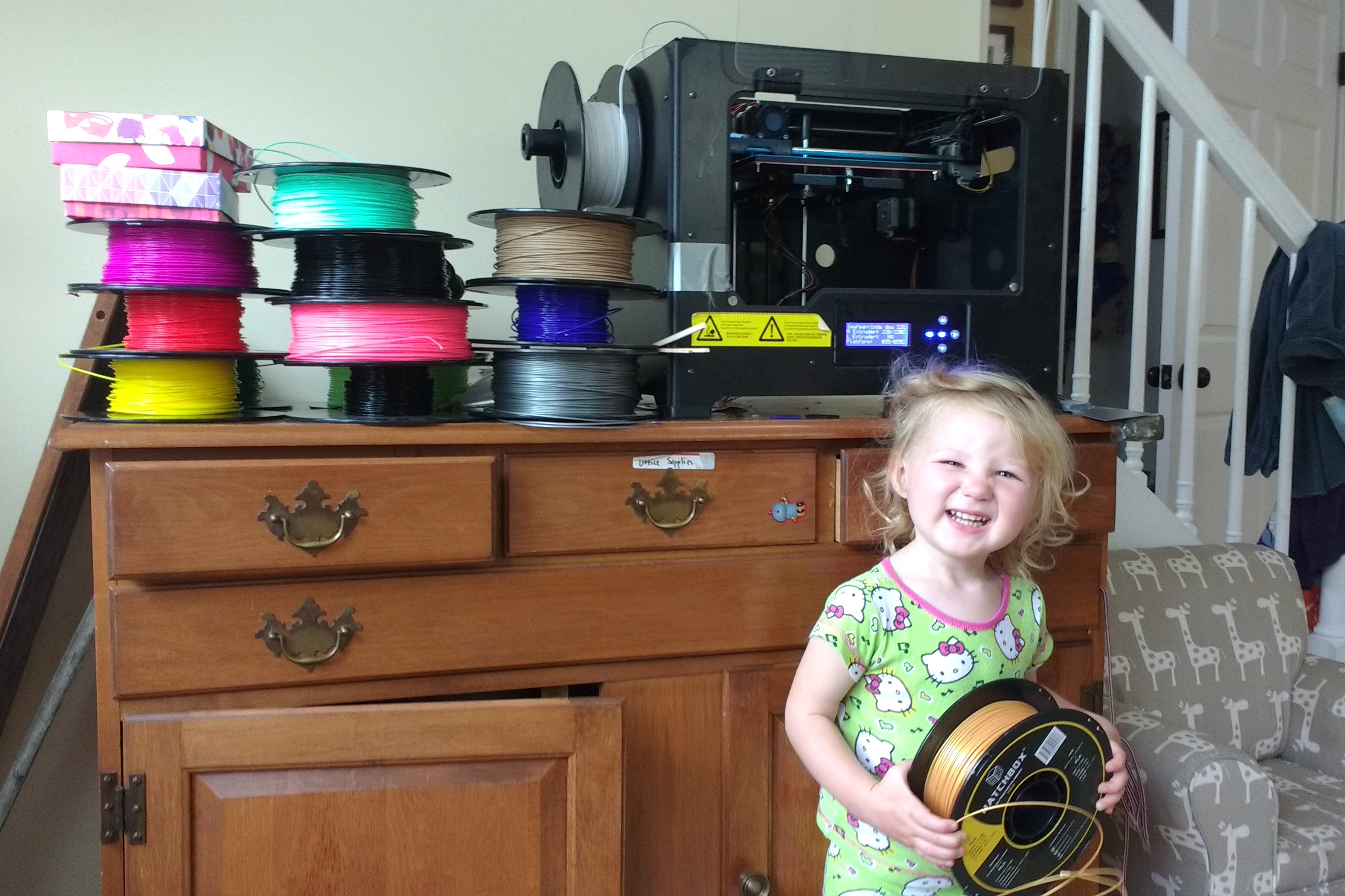
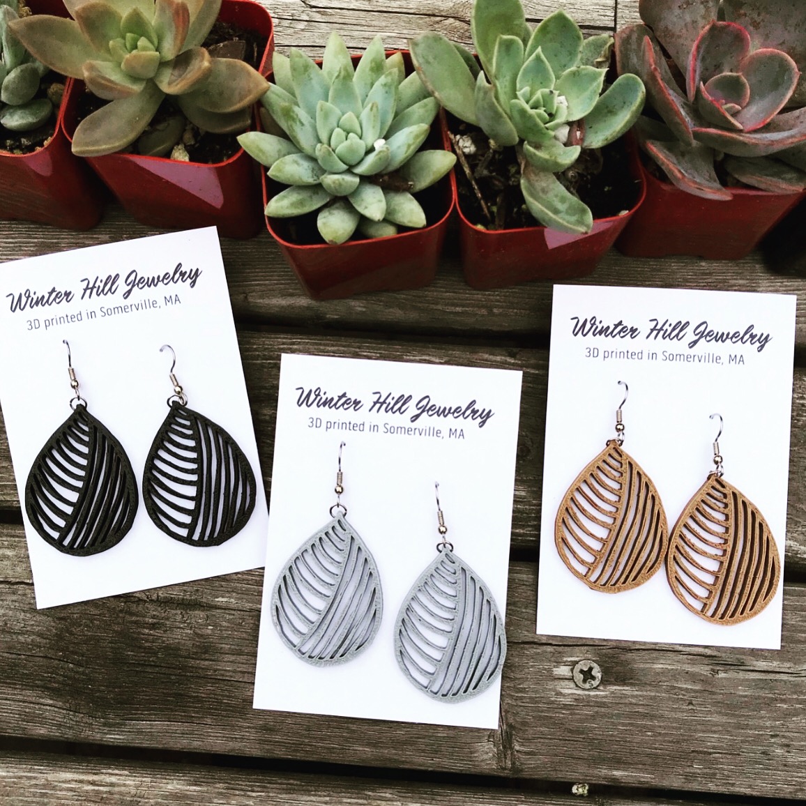
 Vanessa Templeman is a Wisconsin native who lives in Somerville with her family. She is the owner and designer of